Boondocking: verify the place before the plan
Check land management, access, restrictions, and self-sufficiency separately.
Specs and limits
Verify the exact parcel, managing agency, current restrictions, permitted vehicle access, and local stay rules. A public-land boundary or a shared map pin does not establish permission to camp at a particular spot. No live campsite availability is provided here.
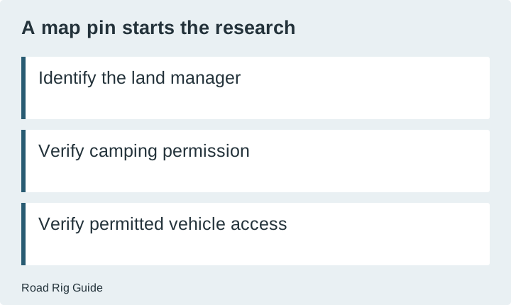
A promising clearing on a map answers only one question: someone or something has identified a location. It does not establish who manages the land, whether camping is permitted, whether the approach is open, or whether your rig can use it without damage. Treat the pin as the beginning of research, not the end of the decision.
Boondocking is often used to describe camping without hookups, but the label is not a permit. The planning work has two distinct parts: verifying the place and verifying your ability to use it responsibly. A self-sufficient rig cannot override a closure, and legal access does not guarantee suitable conditions for a particular vehicle.
Start with the land manager
Identify the actual parcel and the authority responsible for it. Large areas shown as public land may contain other ownership or management arrangements. Use the responsible agency’s current information rather than assuming that nearby land follows the same rules. If the boundary or authority is unclear, resolve it before making the location your overnight plan.
BLM’s camping guidance explains that dispersed camping is subject to local restrictions and posted rules. Its general guidance is not a blanket authorization for every parcel. Ask the relevant field office about the exact area when a rule, boundary, or restriction is uncertain.
Keep the answer specific. Record the place, the rule checked, the date, and any conditions. “Camping is allowed on public land” is too broad to support a decision. A useful record identifies the location and the current information that applies to it.
Verify motor-vehicle access separately
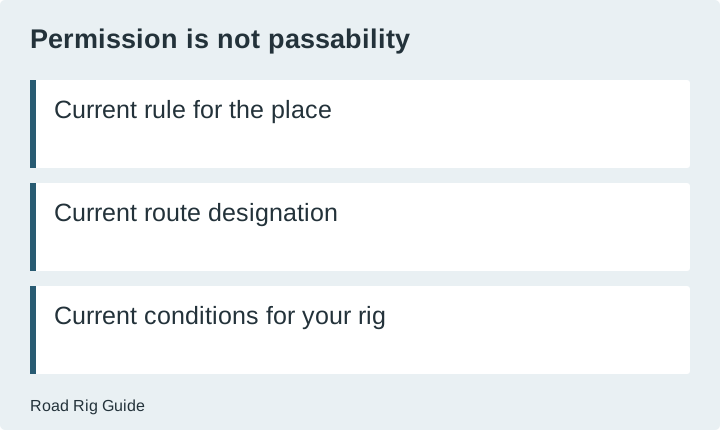
A location can be visible on a map without having an authorized or suitable vehicle approach. Check the current travel-management information for the responsible agency and any seasonal or temporary restrictions. A road designation and actual road condition are different facts, and both matter.
The Forest Service’s Dakota Prairie Grasslands motor vehicle use map illustrates how vehicle designations and seasonal restrictions are documented. It also distinguishes designation from a promise of passability. This is an example for that unit, not a transferable rule for every national forest road.
Do not use a generic navigation shortcut as evidence of permission. Check the route against the appropriate official information and the actual rig dimensions and capabilities. If the route requires an assessment you cannot make confidently, choose a different plan or obtain reliable local guidance.
Build a permission-and-access checklist
| Check | Evidence to obtain | What an unresolved answer means | | --- | --- | --- | | Land authority | Current official ownership or management information | Do not assume the pin is on eligible land | | Camping permission | Applicable local rules and current notices | Find a verified alternative | | Vehicle approach | Current designation and restriction information | Do not treat a mapped line as permission | | Conditions | Reliable current access information | Reassess suitability before committing | | Stay limit | Exact local period and movement requirements | Do not import another area’s rule | | Fire and stove use | Current restrictions for the place and date | Do not assume ordinary practices are permitted | | Waste and services | A lawful plan for water, waste and departure | Shorten or change the stay if needs cannot be met |
The checklist does not provide a campsite recommendation. It organizes the questions that must be resolved for a specific location. Keep the evidence with your trip plan so a change in one condition is easy to identify.
Plan for the services you will not have
List what you normally rely on at a developed campground. Water supply, waste disposal, electrical power, and staffed arrival support may need separate arrangements. Do not assume any service exists at an undeveloped location unless the manager explicitly identifies it.
Estimate your own use from records where possible. The battery worksheet can organize electrical demand, but it does not tell you how long your water supply will last or whether a waste-disposal option will be open. Keep those as separate limits on the stay.
The earliest limiting resource determines when the plan must change. A large battery bank is irrelevant if another essential need cannot be met. Make the departure plan before arrival, including the lawful next place to obtain services. Do not wait until a tank or supply is nearly exhausted to discover the options.
Keep site choice reversible
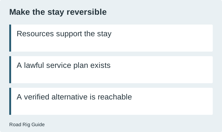
Arrive with enough flexibility to reject a location that differs from the information you collected. Conditions may have changed, a suitable space may be occupied, or the approach may not be appropriate. The existence of a previous campsite does not obligate you to use it.
Identify a verified alternative before the drive. It should be reachable within your actual plan and suitable for the rig, not another unverified pin. Keep enough time and resources to make that change without pressure to force an unsuitable arrival.
When assessing a place, avoid creating new damage to make the site fit. Follow the responsible manager’s instructions on where vehicles may travel and camp. If the available space does not work for the rig, the appropriate planning response is to choose another permitted option.
Treat rules as local and time-dependent
Stay periods, movement requirements, unattended-property rules, and fire restrictions can vary. Record the exact local requirement instead of memorizing a national-sounding rule. Recheck current notices before departure and observe posted instructions at the site.
Do not use a rule for one agency as permission on another agency’s land. A Forest Service map, BLM page, state-land policy, and private property agreement have different scopes. The fact that all appear in a camping search does not make them interchangeable sources.
If two official sources appear to conflict, ask the responsible office to resolve the issue. Do not choose the more permissive interpretation merely because it suits the itinerary. Keep the unresolved question explicit until you have a reliable answer or a different place to stay.
Make a departure and cleanup plan
Plan how everything brought in will leave, including waste handled through authorized facilities. Identify where the next lawful disposal or service stop is and verify the relevant operating information. Do not infer a disposal option from a building or symbol that does not explicitly identify one.
Keep the site record useful without publishing sensitive personal trip details. Notes about which official sources were checked and what assumptions changed can improve the next plan. Do not turn an unverified location into a recommendation for others based only on its appearance in a map.
The result of good boondocking research is a conditional plan: this place, under these current rules, with this suitable approach, for a stay your resources support. If one of those conditions fails, change the plan. That is more useful than treating “off-grid” as a guarantee of freedom from constraints.
Sources
- BLM: camping on public lands
Accessed 2026-11-20. Check the source for equipment-specific instructions and current policies. - US Forest Service: Dakota Prairie Grasslands motor vehicle use map
Accessed 2026-11-20. Check the source for equipment-specific instructions and current policies.